
Research in (Posidonia Oceanica) Seagrass Meadows in Greece
- Greece
About Program
Posidonia oceanica seagrass meadows ensure the maintenance of physical, chemical and biological conditions and provide a habitat for many different species, while acting as nursery, hunting and predator areas. Furthermore, they mediate flow and prevent coastal erosion by stabilizing the seabeds and decreasing the water power and current. P. oceanica meadows are identified as a priority habitat type for conservation in the Habitats Directive (Dir. 92/43/CEE) by European and national legislation.
Surveys have a wide range of focus, including:
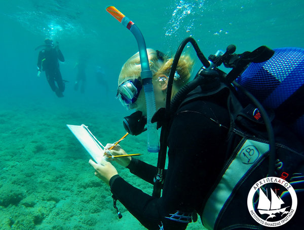
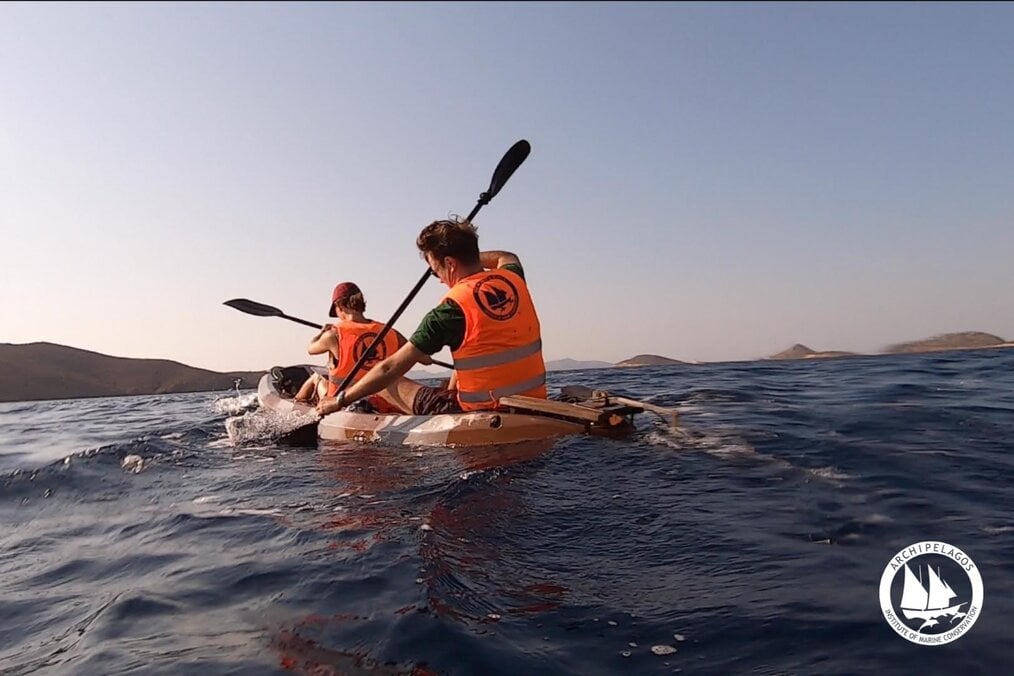
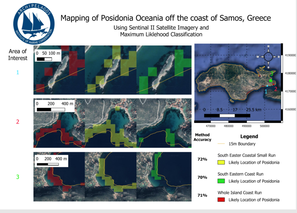
• Mapping Posidonia seagrass meadows through a combination of boat and kayak surveys
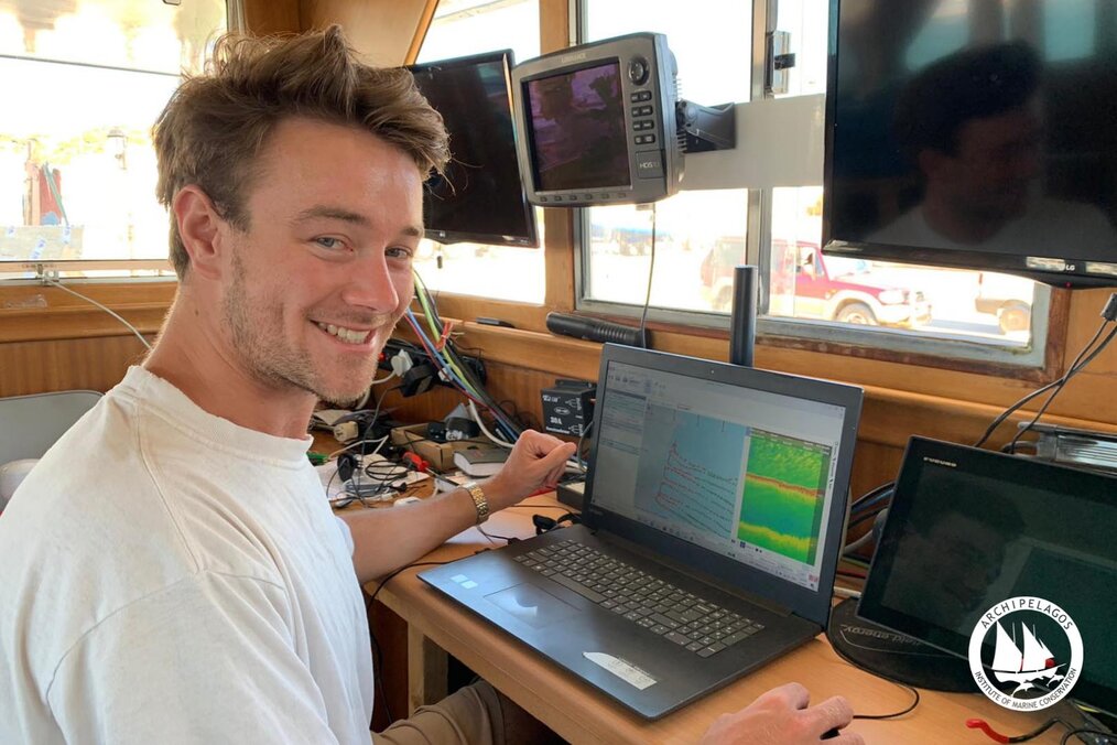
• Assessing the impact caused by mooring, illegal trawling activity, invasive species and aquaculture through sonar and visual data collection, as well as by using loggers
• Experimental replantation of Posidonia seagrass
• Experimental installation of sustainable mooring systems over seagrass meadows
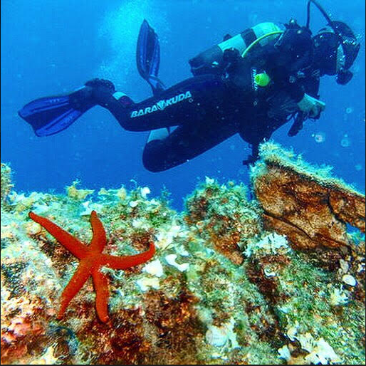
• Evaluation of the health of Posidonia meadows
Video and Photos
Program Highlights
- These projects provide field-work and hands-on research opportunities for graduate and post-graduate students
Related Programs


Questions & Answers
Location
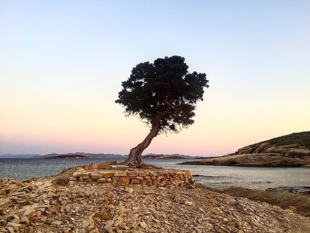
If pastitsio and gyros aren't enough of a reason for you to go to Greece; then the stunningly blue waters, the medieval cities, and picturesque white houses with blue roofs should do the trick. Every island has a different vibe and will be well suited for a variety of travelers.


